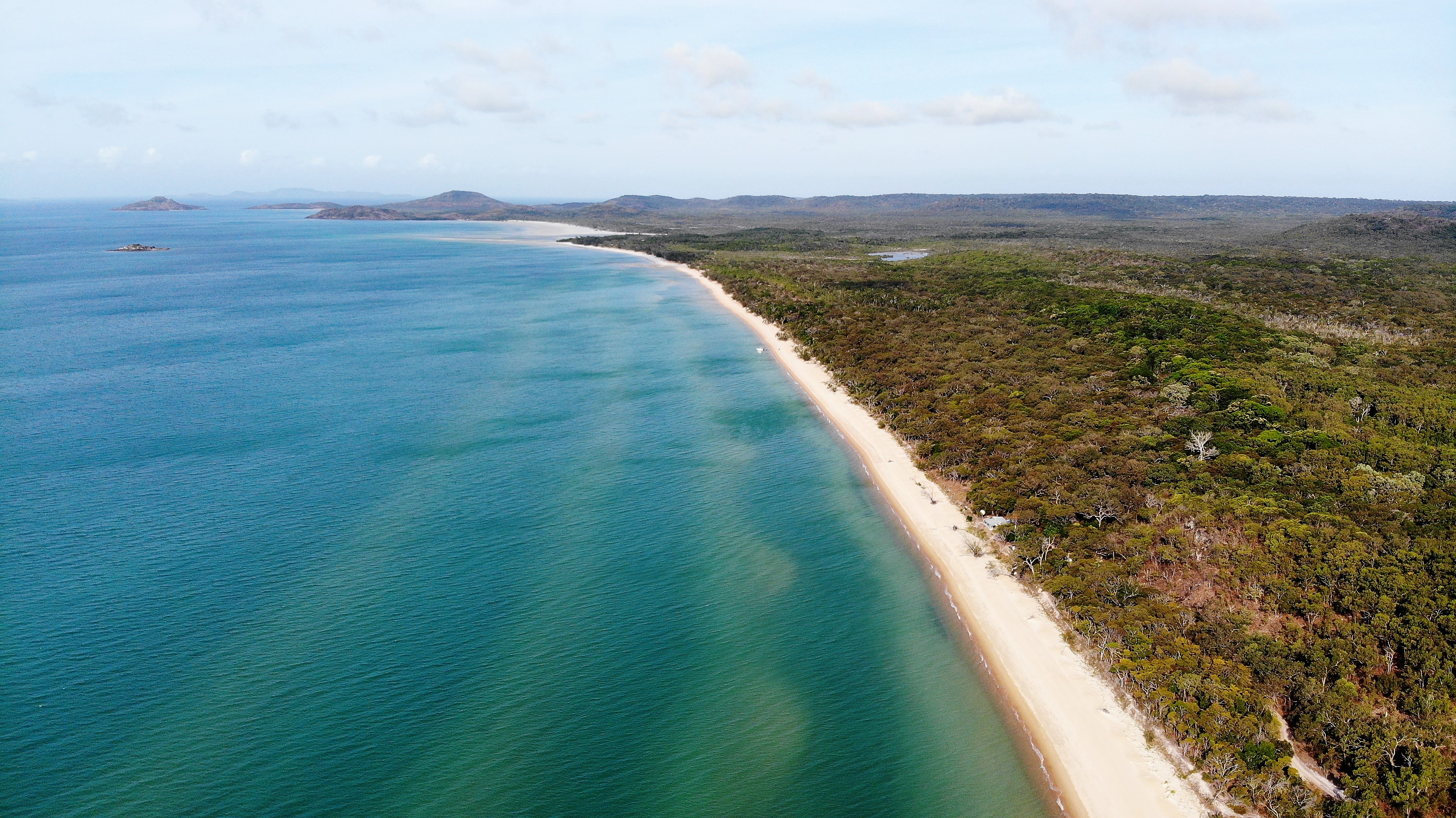
One of the goals we had set ourselves for this trip was to get to see Cape York. I had done the trip back in 1999 with my Dad and three other mates in a camper trailer and it was quite an adventure back then. I was keen to relive the experience this time with Kylie and our three Westies. The trip in 1999 had its fair share of challenges and frankly the thought of dragging a huge caravan up there had both of us more than a little anxious.
That said, we had prepared ourselves pretty well. The trip across the Plenty Highway proved the car and the van were more than up to the challenge. But this was going to be 3 weeks of some of the roughest roads and remote terrain in the country. Anything could happen.
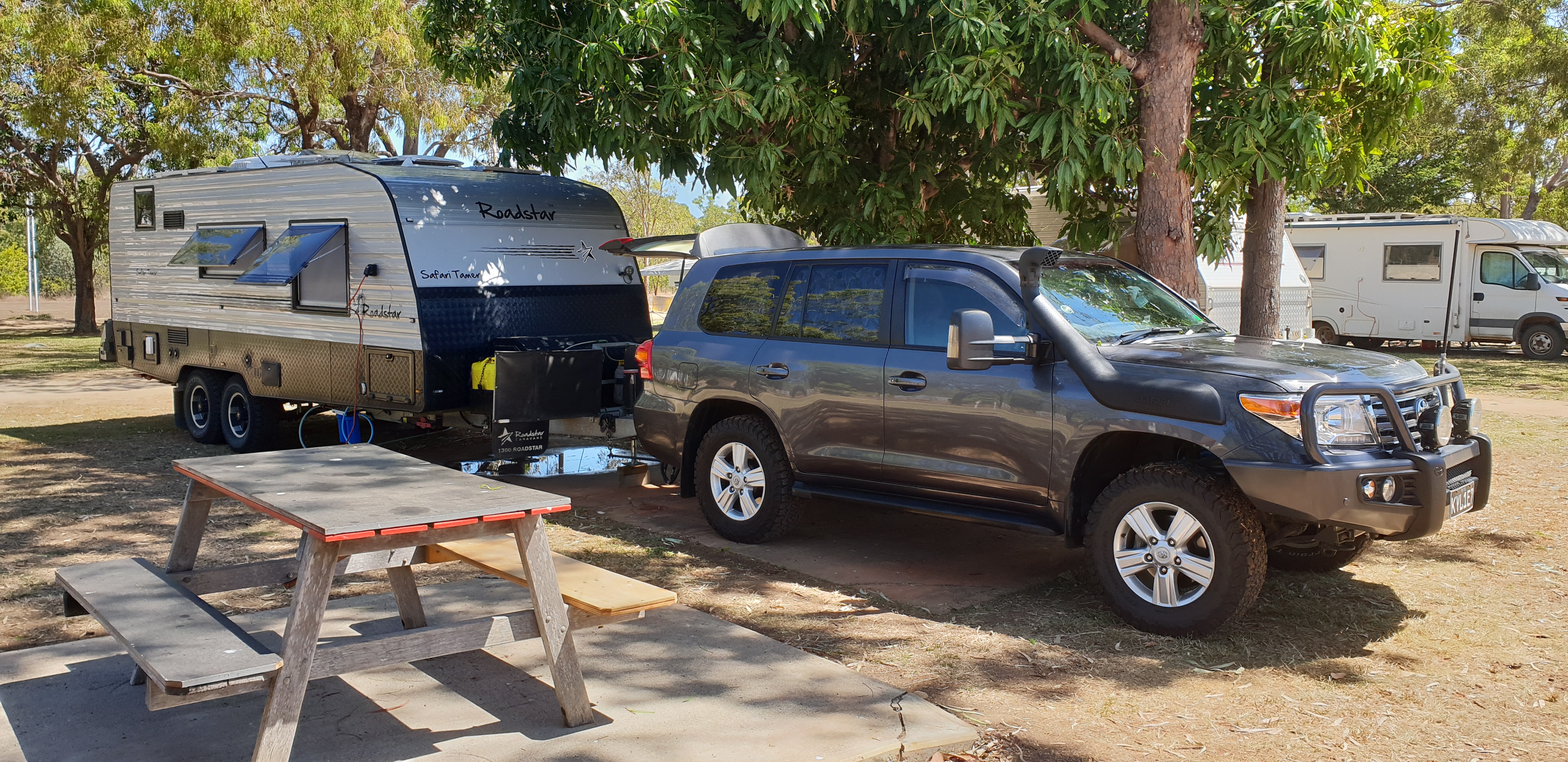
We arrived at Laura which is where the sealed road ends and the dirt road begins. We filled all our fuel stores including 2 jerry cans and stayed over night at the caravan park on the opposite side of the road. Its was interesting to see a few RVs start up along the dirt road only to turn around and come back after finding the going a bit too rough for their liking. We met a family on their way back from the Cape in a Zone RV off road caravan and he advised us to drop our tyre pressures to a very low 19psi. He had stayed in his caravan while his wife drove along the road and he continually reduced the pressures in his tyres until all the fittings and cabinets in his van stopped shacking themselves apart. We took his advice and, as we were to find out later in the trip, we were so glad we did.
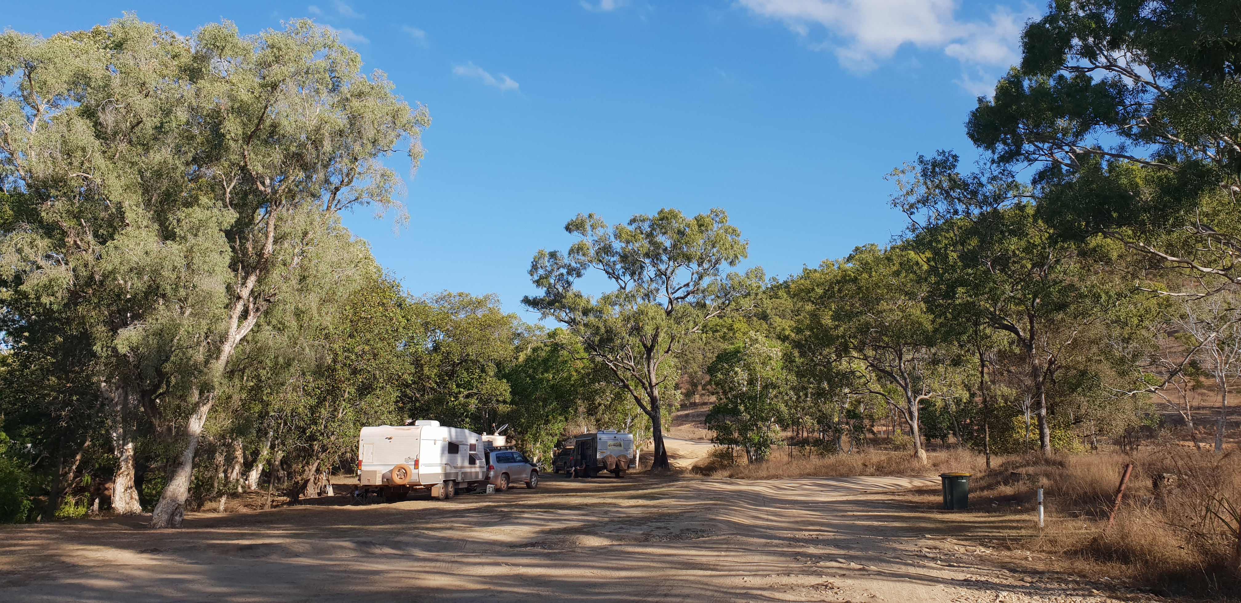
The next morning we headed for our next stop, a free camp just outside Coen. The road between Laura and Coen is a mixed bag, mostly reasonable dirt road, some patches of corrugations and some exposed rock. For the most part it was OK. We arrived at Coen and made our way to the free camp. Its marked as The Bend on the HEMA map. Its a small campsite with sufficient room for several caravans. There’s a small creek running through the camp. Its possible to cross the creek to the other side where there is more room for camping but it is a bit sandy so some care is required.
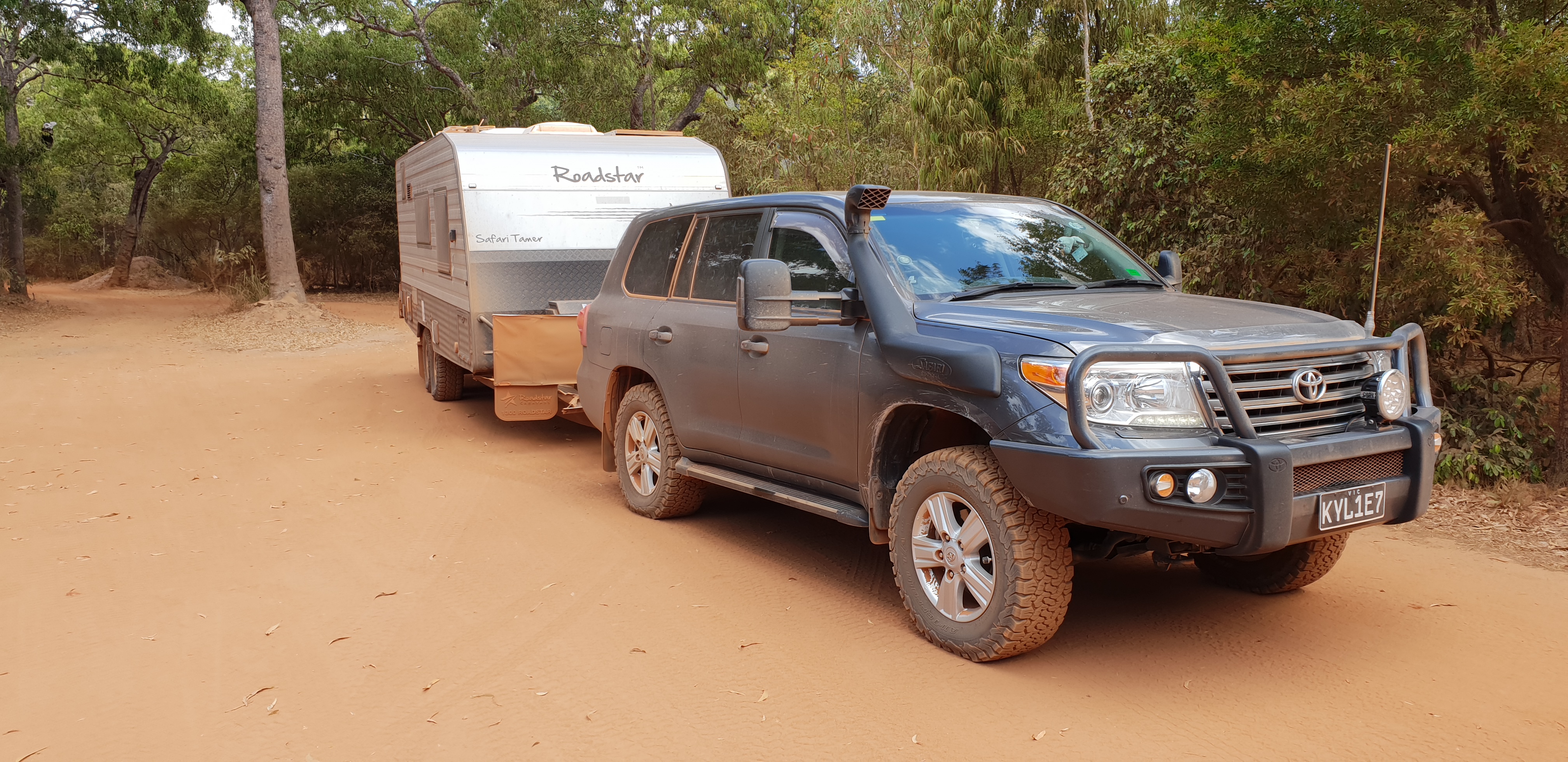
From Coen, we continued north along the Peninsula Development road until we came to the turnoff to the right onto the Telegraph Road. From here the road worsens considerably. The corrugations are quite severe in places. In some sections, our speed was reduced to around 30kph. There is some access to the spoon drain on the side of the track where we found some relief from the corrugations, however, this comes at a cost. The amount of bull-dust in these drains is ridiculous and it makes for hard going, with the engine in the cruiser working really hard to pull our mass through. The drop-off into the drain is like going across a large speed hump. We managed to damage the door step going over one of these bumps.
There are signs of what is to come in the next few years with sections of roadworks taking place along this section of the road, with a long stretch around Archer River now completely sealed. It lulls you into a false sense of security...!
Its worth keeping in mind that many of the people using the road are in a bit of a hurry and seem to have little regard for their own safety or those coming in the opposite direction, especially around the blind corners. We had a few close encounters with people drifting to the wrong site of the road.
We continued on until we reached Bramwell Junction where we refuelled and camped for the night. This camp here is surrounded by some of the tallest ant hills you'll see, some easily 7 feet tall. It here too that the road splits into the Bamaga Bypass Road and the Old Telegraph Track. As we were towing a big caravan, we chose to stick to Bypass road.
Conditions on this section don't improve too much with more of the same corrugations and dusty spoon drains. Along the way are access to the popular Fruit Bat falls and Elliot falls. We'd had mixed reports as to whether we would be able to get the caravan into these areas so we chose not to try.
Later we arrived at the Jardine River Ferry. Depending in the height of the river, access onto the ferry can be a bit steep and larger vans with a lot of rear overhang may bottom out here. We had no trouble. After the ferry crossing, we continued on until we arrived at Bamaga. This section of the road was not as bad as the others and we made good time. From Bamaga, we headed to Punsand Bay, which is the closest camp to the tip of Cape York. The road worsens considerably here and is very rough in places.
Arriving at Punsand Bay was a huge relief. We really felt we had really accomplished something. We couldn't wait to set up camp and relax but we had to face one last challenge. The camp sites are a decent size here but access it quite restricted. The tracks are narrow and there are trees in all the wrong places. We managed to find a suitable site and, after a few goes, we managed to get our van onto our site. We wouldn't recommend bringing a van any longer than ours into Punsand Bay.
Once set up, this is a delightful spot with access to one of the most pristine beaches in the country. We had access to 240v power but no water. There are plenty of showers and toilets provided. The bar here is excellent given its location and meals are available. Access to the very tip of Cape York is a short drive away. It was an experience of a lifetime to bring Kylie here and to stand together at the very top of our great country.
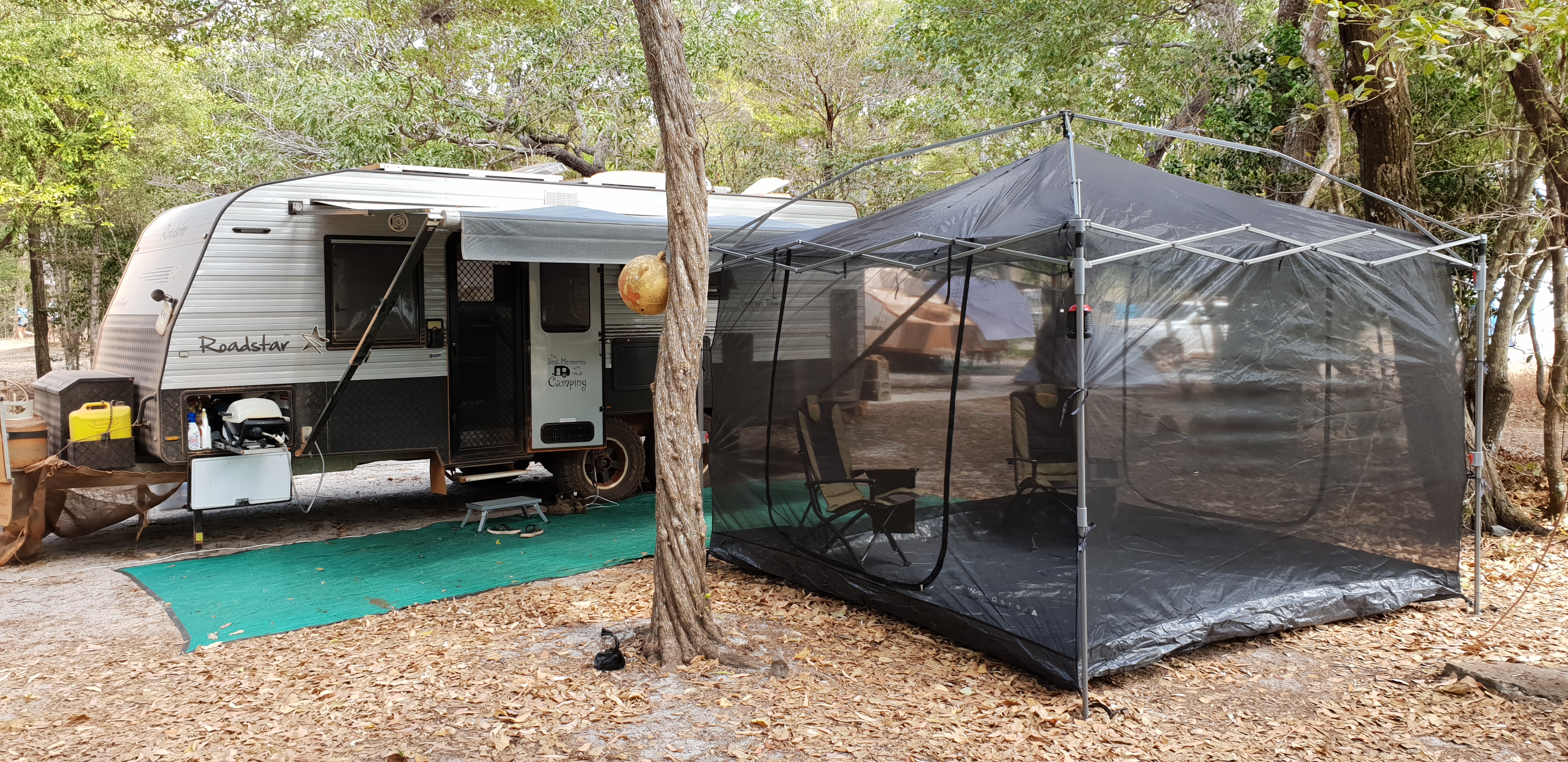




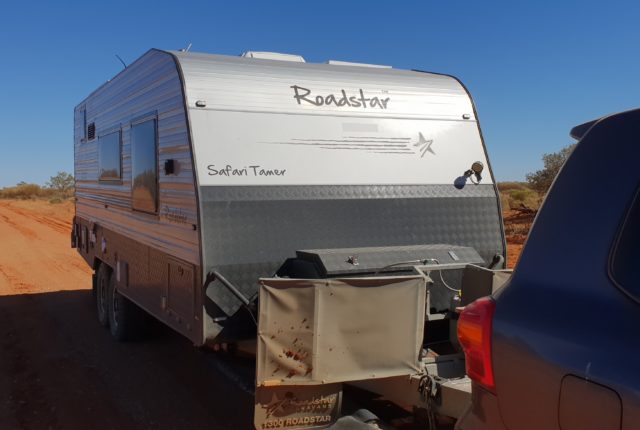
Hello, Could you please tell me how long was the caravan you took to Punsand Bay so I can work out if mine will fit.
Mine’s a 21 ft.
Hi Michael. Our van is 20′ internal but with our long drawbar and spare tyres on the back, we’re closer to 25′ total.
There’s only a handful of sites that will fit your van. Very tight reversing into them.
If I were you I’d forget Punsand Bay and go to seisia caravan park. Get a site right at the north end. Heaps of room and right on the beach with sunset views. Perfect.